For worry-free aerial mapping and surveying, the Zenmuse L2 Worry-Free Basic Combo is the best option. This all-inclusive package comes with the Zenmuse L2 payload, which is optimized for effective LiDAR and RGB data collection, as well as necessary add-ons to improve your drone surveying experience. The Zenmuse L2 guarantees precise and thorough data collection for a range of applications, from environmental surveying to construction and infrastructure monitoring, thanks to its sophisticated LiDAR capabilities and high-resolution RGB photography. This combination is designed to offer a smooth and worry-free aerial surveying experience, making it the perfect option for professionals looking for accuracy and productivity in their mapping projects.
Zenmuse L2 Worry
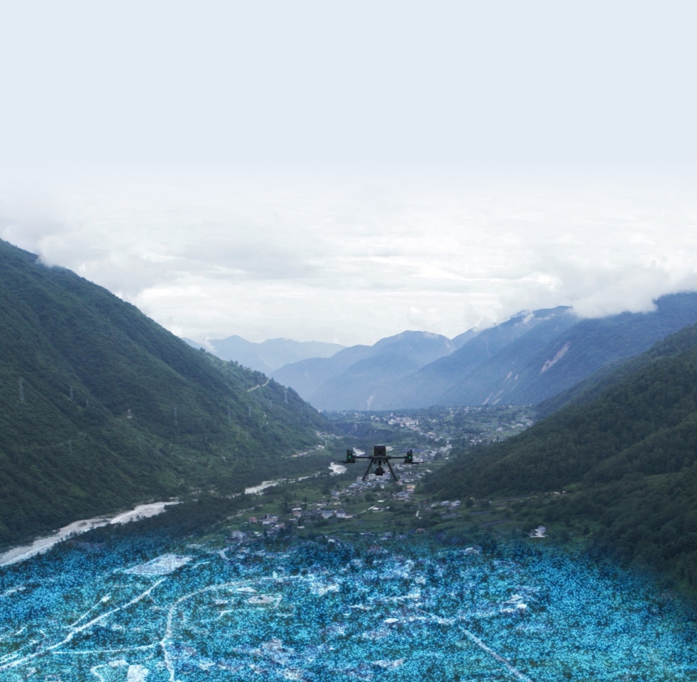
Exceptional Efficiency
Upon activation, the device swiftly becomes operational, efficiently collecting point cloud data across a vast 2.5 square kilometer area in just a single flight. This immediate readiness and extensive coverage capability ensure that large-scale surveys can be conducted quickly and effectively, maximizing productivity and data collection efficiency.
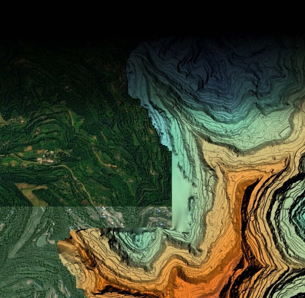
One-Click Processing on DJI Terra
Effortlessly generate a Digital Elevation Model (DEM) and a 3D point cloud model in a universally accepted format with just a single click. Utilizing DJI Terra, the integrity and precision of the point cloud data can be thoroughly evaluated, ensuring high-quality outputs for detailed analysis and application across various projects.
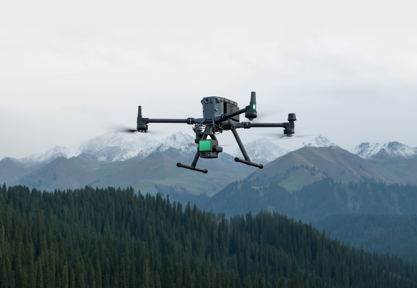
30% Detection Range Increase
The L2 sensor achieves detection ranges up to 250 meters with 10% reflectivity under 100 klx lighting conditions, and up to 450 meters with 50% reflectivity in complete darkness (0 klx). Currently, it operates optimally at a standard flying altitude of 120 meters, balancing range and resolution for effective data capture.
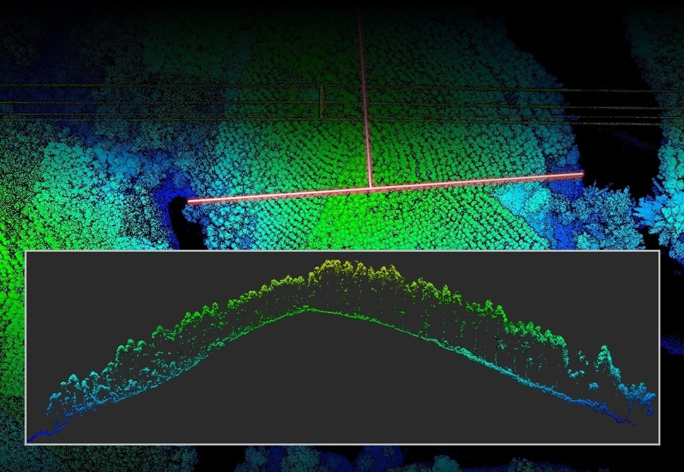
Superior Penetration
At 100 meters, the L2 sensor’s spot size is just one-sixth that of the L1, enabling it to detect smaller objects with higher precision. This capability allows for the creation of more detailed models and Digital Elevation Models (DEMs), significantly enhancing the quality and utility of the data collected.
In The Box

Specifications
| Category | Specification |
| General | |
| Product Name | Zenmuse L2 |
| Dimensions | 155×128×176 mm (L×W×H) |
| Weight | 905±5 g |
| Power | 28 W (typical), 58 W (max.) |
| IP Rating | IP54 |
| Supported Aircraft | Matrice 300 RTK (requires DJI RC Plus), Matrice 350 RTK |
| Storage Temperature | -20° to 60° C (-4° to 140° F) |
| Operating Temperature | -20° to 50° C (-4° to 122° F) |
| System Performance | |
| Detection Range | 450 m @ 50% reflectivity, 0 klx; 250 m @ 10% reflectivity, 100 klx |
| Point Cloud Rate | Single return: max. 240,000 pts/s; Multiple returns: max. 1,200,000 pts/s |
| System Accuracy | Horizontal: 5 cm @ 150 m; Vertical: 4 cm @ 150 m |
| Point Cloud Coloring | Reflectivity, Height, Distance, RGB |
| LiDAR | |
| Ranging Accuracy (RMS) | 2 cm @ 150 m |
| Maximum Returns Supported | 5 |
| Scanning Modes | Non-repetitive scanning pattern, Repetitive scanning pattern |
| Field of View (FOV) | Repetitive: Horizontal 70°, Vertical 3°; Non-repetitive: Horizontal 70°, Vertical 75° |
| Minimum Detection Range | 3 m |
| Laser Beam Divergence | Horizontal 0.2 mrad, Vertical 0.6 mrad |
| Laser Wavelength | 905 nm |
| Laser Spot Size | Horizontal 4 cm, Vertical 12 cm @ 100 m |
| Laser Pulse Frequency | 240 kHz |
| Laser Safety | Class 1 (IEC 60825-1:2014) |
| Accessible Emission Limit (AEL) | 233.59 nJ |
| Reference Aperture | Effective Aperture: 23.85 mm |
| Max Laser Pulse Power | 46.718 W (within 5 ns) |
| Inertial Navigation System | |
| IMU Update Frequency | 200 Hz |
| Accelerometer Range | ±6 g |
| Angular Velocity Range | ±300 dps |
| Yaw Accuracy (RMS 1σ) | Real-time: 0.2°; Post-processing: 0.05° |
| Pitch/Roll Accuracy (RMS 1σ) | Real-time: 0.05°; Post-processing: 0.025° |
| Horizontal Positioning Accuracy | RTK FIX: 1 cm + 1 ppm |
| Vertical Positioning Accuracy | RTK FIX: 1.5 cm + 1 ppm |
| RGB Mapping Camera | |
| Sensor | 4/3 CMOS, Effective Pixels: 20 MP |
| Lens | FOV: 84°, Format Equivalent: 24 mm, Aperture: f/2.8-f/11, Focus Points: 1 m to ∞ |
| Shutter Speed | Mechanical: 2-1/2000 s; Electronic: 2-1/8000 s |
| Shutter Count | 200,000 |
| Photo Size | 5280×3956 (4:3) |
| Photography Modes | Single shot: 20 MP, Timed: 20 MP |
| Video Codec/Resolution | H.264, 4K: 3840×2160 @30fps; FHD: 1920×1080 @30fps |
| ISO | Video: 100-6400; Photo: 100-6400 |
| Video Bitrate | 4K: 85 Mbps; FHD: 30 Mbps |
| Supported File System | exFAT |
| Photo Format | JPEG/DNG (RAW) |
| Video Format | MP4 (MPEG-4 AVC/H.264) |
| Gimbal | |
| Stabilization System | 3-axis (tilt, roll, pan) |
| Angular Vibration Range | 0.01° |
| Mounting | Detachable DJI SKYPORT |
| Mechanical Range | Tilt: -143° to +43°; Pan: ±105° |
| Controllable Range | Tilt: -120° to +30°; Pan: ±90° |
| Operation Mode | Follow/Free/Re-center |
| Data Storage | |
| Raw Data Storage | Photo/IMU/Point cloud/GNSS/Calibration files |
| Point Cloud Data Storage | Real-time modeling data storage |
| Supported microSD Cards | Sequential writing speed 50 MB/s or above, UHS-I Speed Grade 3 rating or above, Max capacity: 256 GB |
| Recommended microSD Cards | Lexar 1066x 64GB/128GB/256GB U3 A2 V30 microSDXC; Kingston Canvas Go! Plus 128GB U3 A2 V30 microSDXC |


