| Multispectral Imaging Technology |
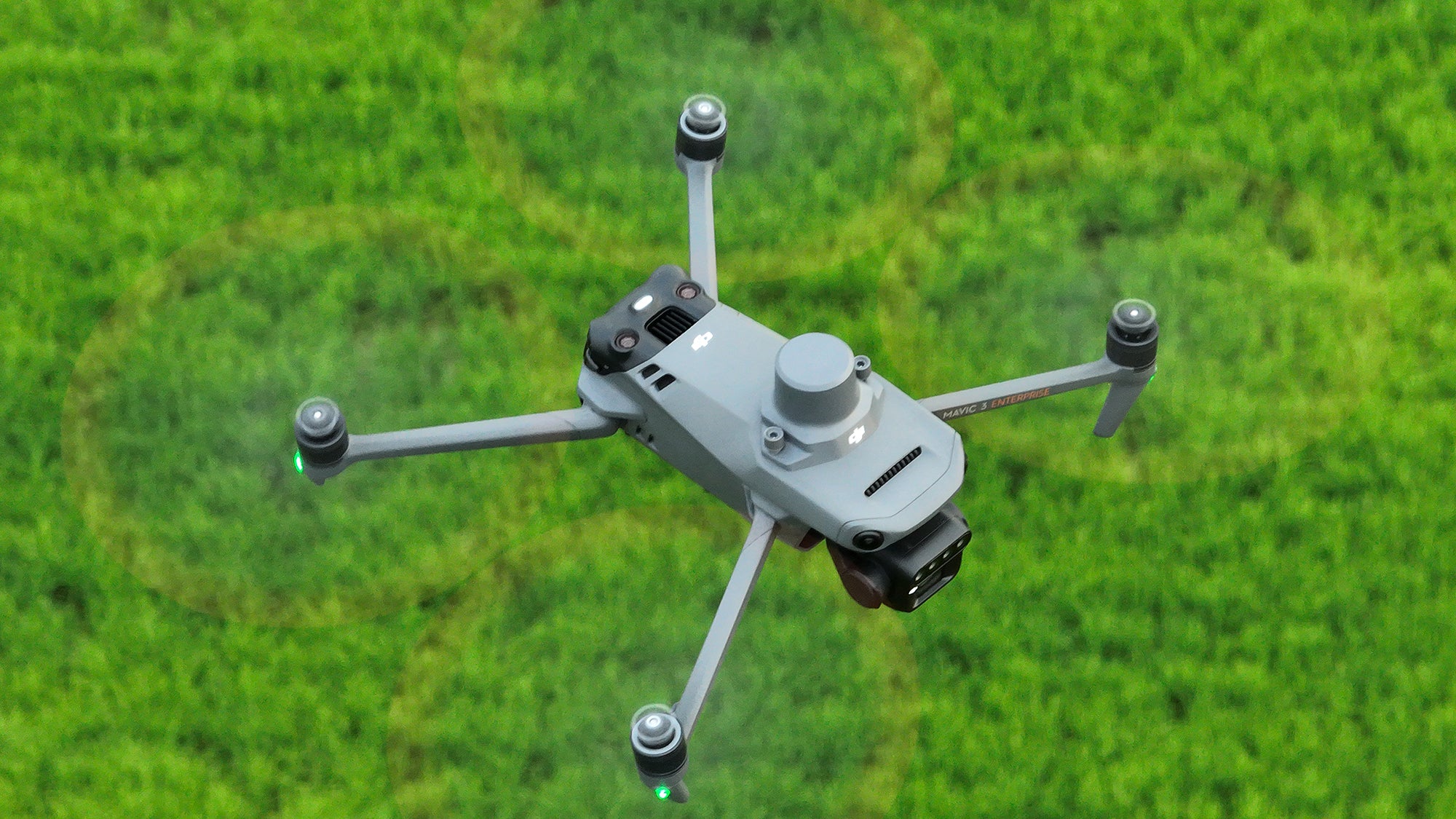
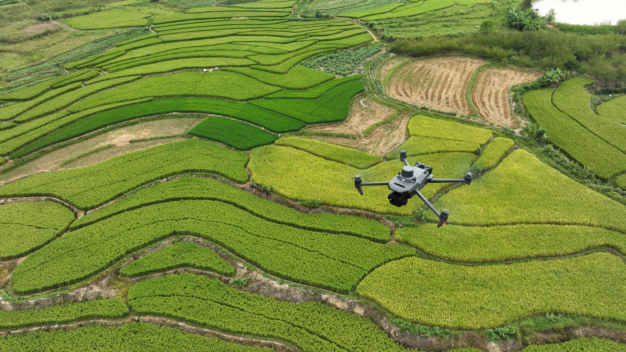
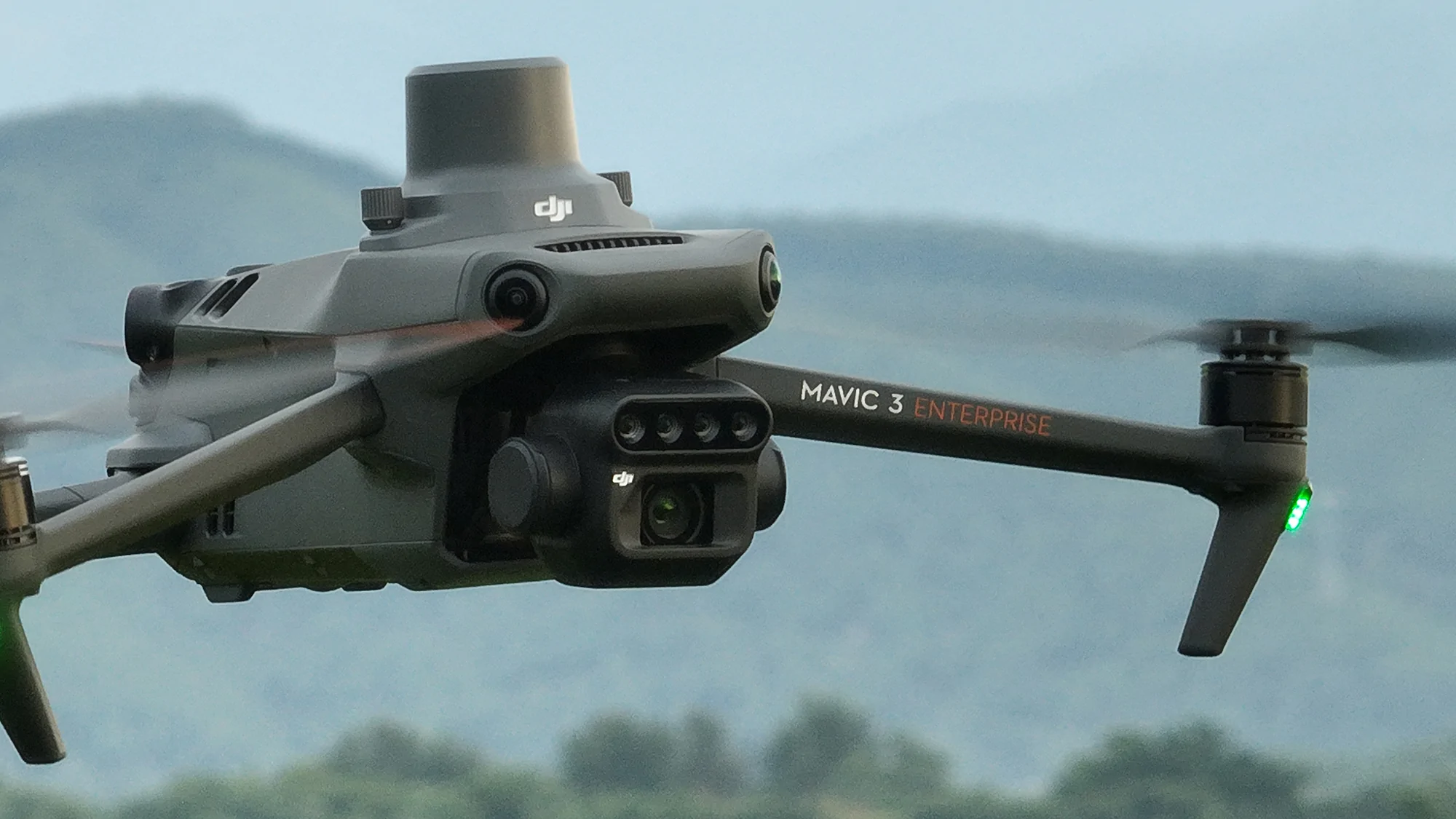
Equipped with advanced multispectral imaging technology, capturing data across multiple spectral bands for assessing crop health, monitoring growth, and optimizing agricultural practices by analyzing vegetation indices like NDVI and NDRE. |
| Precision Agriculture Flight Modes |
Includes specialized flight modes that automate data collection over farmland, ensuring comprehensive coverage and consistent data gathering for effective crop monitoring. |
| Integrated Data Analysis Tools |
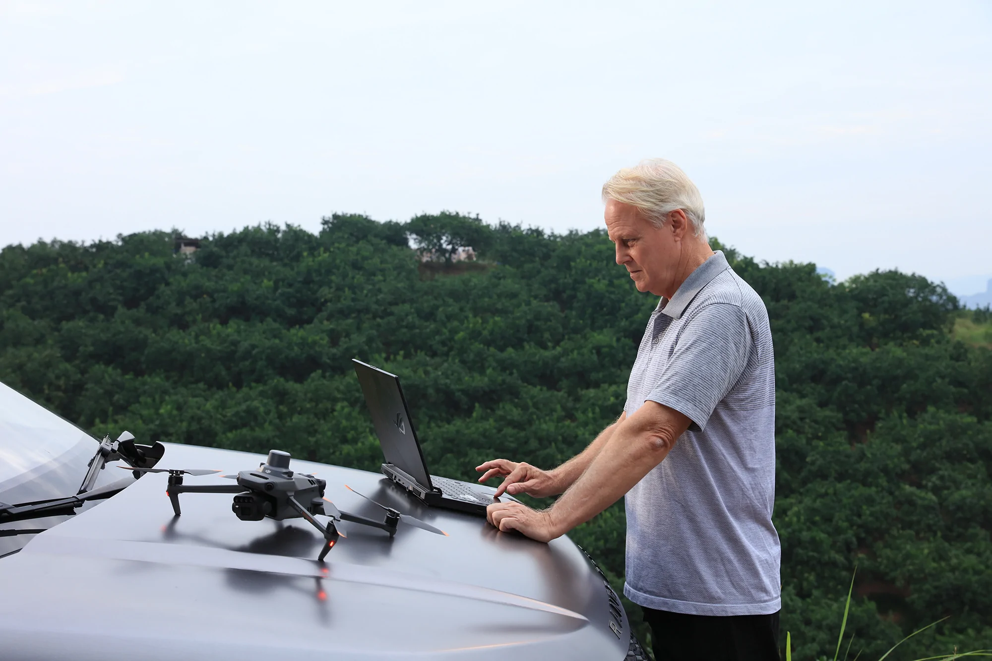
Comes with powerful data analysis tools that process multispectral images to provide actionable insights into crop health, soil condition, and water needs, aiding informed decisions to improve yield and reduce resource waste. |
| Real-Time Data Transmission |
Offers real-time data transmission, allowing farmers and agronomists to receive immediate insights into crop conditions, enabling quick decision-making and intervention for improved crop management strategies. |
| Extended Flight Time |
Boasts an extended flight time, ensuring large areas of farmland can be surveyed in a single flight, key for maintaining regular and thorough monitoring of agricultural land. |
| GPS Precision Farming |
Integrates GPS technology for precise farming applications, enabling accurate mapping, field boundary detection, and targeted treatment areas, which reduces overlap in applications and saves time and resources. |
| Enhanced Connectivity for Remote Operations |
Features enhanced connectivity options, including 4G and Wi-Fi, facilitating remote operations and management, ensuring the drone can be operated from a distance for various agricultural tasks. |
| Weather-Resistant Design |
Built to withstand various environmental conditions, ensuring reliable operation in diverse climates typical of agricultural settings, allowing data collection to continue regardless of weather changes. |
| Portable and Easy to Deploy |
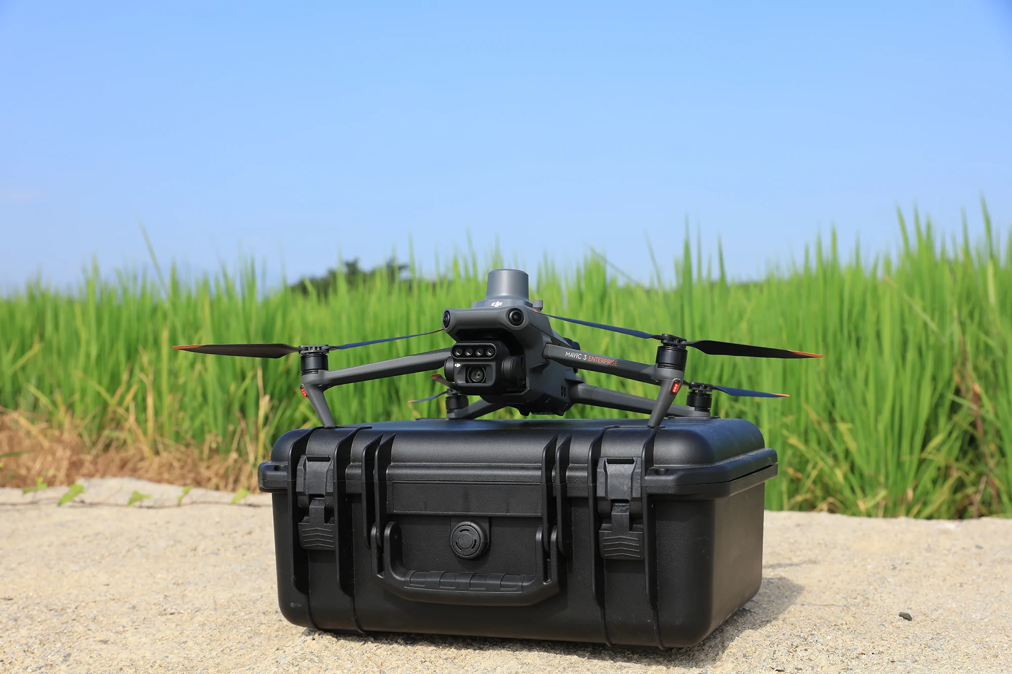
Compact and foldable design makes it highly portable and easy to deploy across different fields, essential for agricultural professionals who need to monitor multiple locations. |
| Global Shutter Mechanism for High-Quality Imaging |
Utilizes a global shutter mechanism to capture sharp, distortion-free multispectral images, crucial for accurate analysis, ensuring that collected data is reliable and reflective of actual crop conditions. |
| Obstacle Avoidance System |
Includes an advanced obstacle avoidance system, enhancing safety during flights by preventing collisions with trees, buildings, and other obstacles, ensuring the safety of the drone and crops. |
| Automated Data Processing Workflow |
Supports an automated data processing workflow, streamlining the analysis of multispectral data for a quicker turnaround from data collection to actionable insights, crucial for timely agricultural interventions. |
| Seamless Integration with Farm Management Software |
Easily integrates with leading farm management software platforms, allowing seamless data transfer and analysis within existing agricultural workflows, enhancing decision-making processes and overall farm management efficiency. |
| Free DJI Pilot 2 |
A professional flight control app designed for enterprise-level drones, providing advanced features such as mission planning, real-time data collection, and integration with other DJI software platforms. Basic flight operations and most essential features are available at no additional cost, though advanced features may require additional licenses. |


